Geology
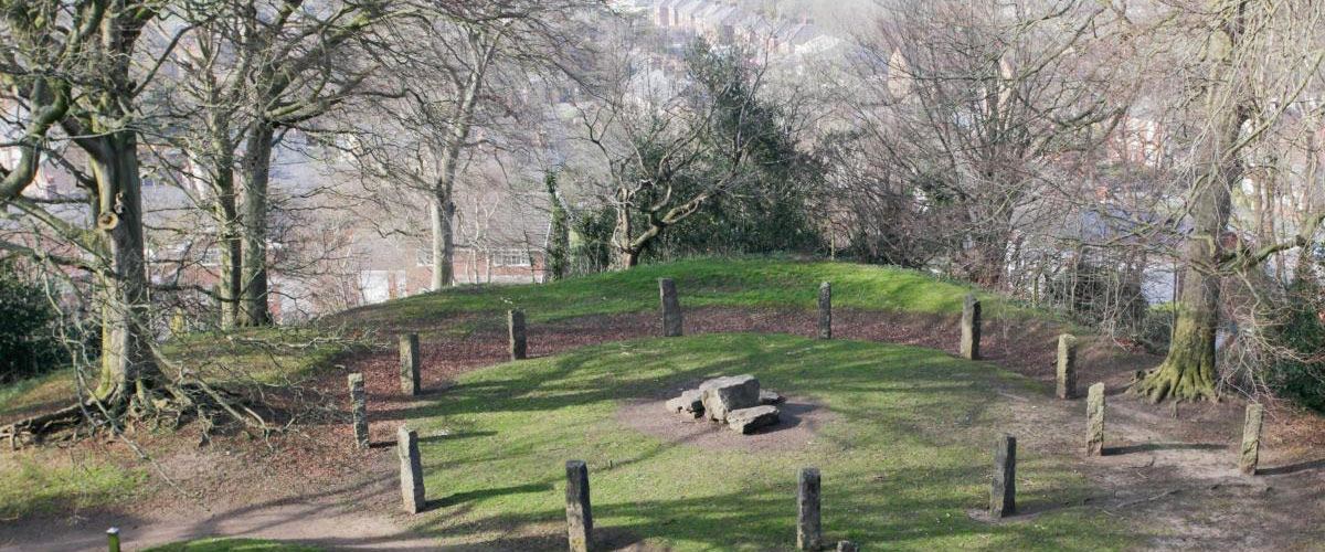
Bailey Hill was formed from deposits left behind by glacial activity, and the last ice age covered Wales in glacial ice sheets for over 100,000 years until only 11,500 years ago.In 1890 Strahan W described it as ‘a fine example of a sand and gravel esker’ - Eskers are glacially deposited sand and gravel looking a bit, like a railway embankment https://en.wikipedia.org/wiki/Esker CADW in 1989 (Ancient Monuments Record Form NA/Gen/89/143e) described the mound as standing on “a south eastern ridge of Glacial Gravel overlooking the valley of the River Alyn to the north and east”.
About 2,500 years after the ice age, the climate improved significantly and the population of Britain rose as a result. This period, known as the Mesolithic (or Middle Stone Age), lasted until the introduction of farming around 6,000 years ago.
We simply do not know whether and for what and to what extent the Hill was used before the Normans arrived – by the ancient Celts, the Romans, the medieval people of Wales, or by later newcomers from the English regions to the east.
When the Normans arrived around 1000 years ago, they probably built the glacial mound higher to construct their castle.
IMAGE RIGHTS: By Ulamm - File:Europe topography map.png, 2 April 2006 by San Jose, based on the Generic Mapping Tools and ETOPO2, CC BY-SA 3.0, commons.wikimedia.org